
Cartography is the science of making maps. The skill requires a high degree of information, knowledge, scientific accuracy, and a sense for aesthetics. Maps serve a useful function. In the past, they helped chart and push forward the boundaries of human knowledge of not just the earth but also the skies. Today, maps are easily available digitally. Yet, printed maps continue to appeal both laypersons that use them for navigation and the connoisseurs who collect them just as numismatists collect coins and philatelists collect stamps.
Maps have an interesting history and many fun facts associated with them; here are 5 cool facts about maps that will we think you'd love to hear about! Check out our homepage: Craft & Oak for more map inspiration!
Maps with East at the Top
- Maps are usually made with “North” at the top. But this wasn’t always the case. Once upon a time, cartographers in Europe placed “East” at the top. The Latin word for “East” is “Oriens”. We derive “Orient” from this root word and maps were oriented towards the east. The sun rises in the east and hence this direction was a natural choice for cartographers of the medieval age. North and west were poor choices because the sun sets in the west and it gets darker as we move toward the north. Maps from the early Muslim world are oriented to the south because most of these Muslim kingdoms were to the north of Mecca and chose to look “up” to their religious site.
Fake Towns in Maps
- Maps may have fake towns embedded in them! Cartographers have been using this trick for centuries... the idea is to ensure that painstakingly drawn maps do not end up being counterfeited and counterfeiters don’t end up profiting through copyright infringement. Mapmakers may also introduce nonexistent bends in rivers or paths and roads leading to nowhere. Agloe is easily the most famous paper town in modern history. Ostensibly located in upstate New York, this fictitious town was created in the 1930s by the General Drafting Co. and continued to appear in maps up to the 1990s.
Waldseemüller Map
- The Waldseemüller map, drawn in 1507, by German cartographer Martin Waldseemüller, is the first recorded instance of the word “America” appearing in a map. The only known copy of the map is with the U.S Library of Congress. It was purchased by the library for U.S $10 million, making it one of the most expensive maps ever to be sold.
Oldest Known Maps
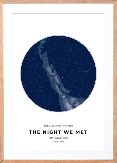
- The oldest known map is not of the Earth but of the stars. In 2000, a map of the night sky was discovered in one of the caves in the cave complex at Lascaux, France and is believed to be more than 16,500 years old. That period of human history is known as the Magdalenian Era. These tell us that the roots of astronomy and mapmaking go farther back in time than previously thought.
Map Censorship
- Map censorship or cartographic censorship is a real thing. Governments prohibit the publishing of maps with locations of military installations, security bases, communication towers, and defense installations. Satellite imagery has rendered such censorship less effective, but still governments continue to practice it to protect national interests.
I hope you guys enjoyed these facts about Maps :)