
GPS systems of today are a far cry from maps made on goatskin. People went wrong with those maps just as they do so with GPS systems today – driving through countries like the Belgian lady who trusted her GPS for a 90-mile drive to Brussels and drove through Germany to Croatia because the GPS directed her to.
Maps have evolved to guide us, but a map can only be as good as the effort and skills a cartographer puts into collecting information. An error by a map-maker will reflect in a map, and then inadvertently maps end up misguiding us. During the early days of cartography, accuracy wasn’t that high on the agenda of map makers as was pleasing their patrons. These patrons could’ve been English lords, Arab Sheikhs, or Roman senators. The maps often showed a patron’s domain in the center and then the world to be around it. To say that such maps were fanciful would be an understatement. There are maps depicting Africa populated by people with eyes on their shoulders. Nautical maps of yore had fantastical creatures on them – krakens, mermaids, horned demons, and mermaids.
It is interesting that before these fantastical maps from the Middle Ages came to be, older civilizations such as of India and Greece had already created accurate maps that detailed topography of a round earth and also charted movements of celestial bodies. These maps aided in navigation and helped in the discovery of new lands. But after the Roman empire fell into decline and the Dark Ages arrived, learning suffered, as did map making.
There were other maps with objectives much loftier than just getting people from one place to another. These intended to get you to heaven. These maps, mappaemundi, invariably had “East” on the top and tried to get people interested in the story of Jesus.
With the Renaissance, Europe embarked on the road to knowledge and discovery. Things began to look up for cartographers. They were in demand once again. Britain, Spain, and Portugal launched expeditions and these required accurate maps. Portolan maps became the order of the day. These maps connected seaports.
In 1569, Gerardus Mercator came up with a trick that has since then been helping navigators since then. We know it as the Mercator projection, it presents landmasses away from the Equator as wider than they actually are. This leads to an unintentional error of some countries appearing larger than they are. But it worked wonderfully for the navigators.
Over the ages, maps have been used to guide, deliberately misguide – during wars, and to persuade people and governments into accepting sociopolitical scenarios.
Cartographers fueled the age of colonialism. It led to conquests. America was able to expand westward largely due to the charting efforts of Lewis and Clark.
Today, maps are made with a far greater degree of accuracy. Satellites help. You can map not just distances but also locations where the rich stay, areas with higher criminal tendencies, cities with the most comfortable commutes, and present interesting factoids.
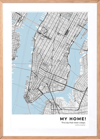
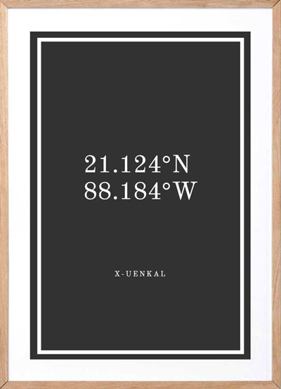
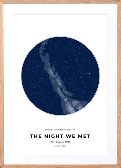
Maps have made empires, they can also make memories. Gift your loved one a personalized map